The Nano Banana AI Image Generator Has Arrived in Google Earth
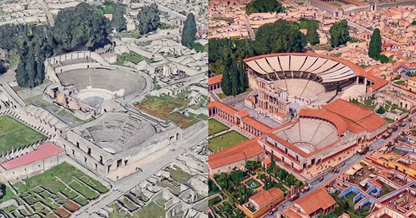
Google has added Nano Banana, its AI image generation model, to Google Earth, enabling users to produce stylized or era-specific visualizations of any location they are currently exploring. The integration means that someone looking at a coastal city, a mountain range, or a rural town can prompt the tool to render that same geography as it might have appeared decades ago, or in a painterly, illustrative, or other stylistic interpretation.
The move places generative image AI into a context where it has clear, grounded utility. Rather than generating images from scratch with no geographic anchor, Nano Banana in Google Earth uses the actual terrain and map data as a reference point, giving outputs a meaningful connection to real places. This approach sidesteps some of the more arbitrary uses of image generation and instead ties the creative output to something spatially concrete.
Google Earth has long served as both a practical navigation aid and a tool for education, journalism, and environmental monitoring. Adding an image generation layer introduces a new dimension to how users can interact with geographic data - one that is more visual and interpretive than the platform's traditional satellite and street-level imagery. For educators or storytellers, the ability to show what a location might have looked like in a different era could be a useful complement to historical research.
Nano Banana itself is part of Google's broader portfolio of on-device and cloud-based generative AI models, with the "Nano" designation typically indicating a lighter-weight variant suited for faster inference. Its appearance in Google Earth suggests Google is continuing to find practical homes for its generative models across its suite of consumer products, moving beyond standalone AI tools and embedding generation capabilities into established applications where users already have a clear reason to engage with visual content.