Image
Google Earth’s New AI Lets Anyone Fabricate Completely Bullshit Satellite Images
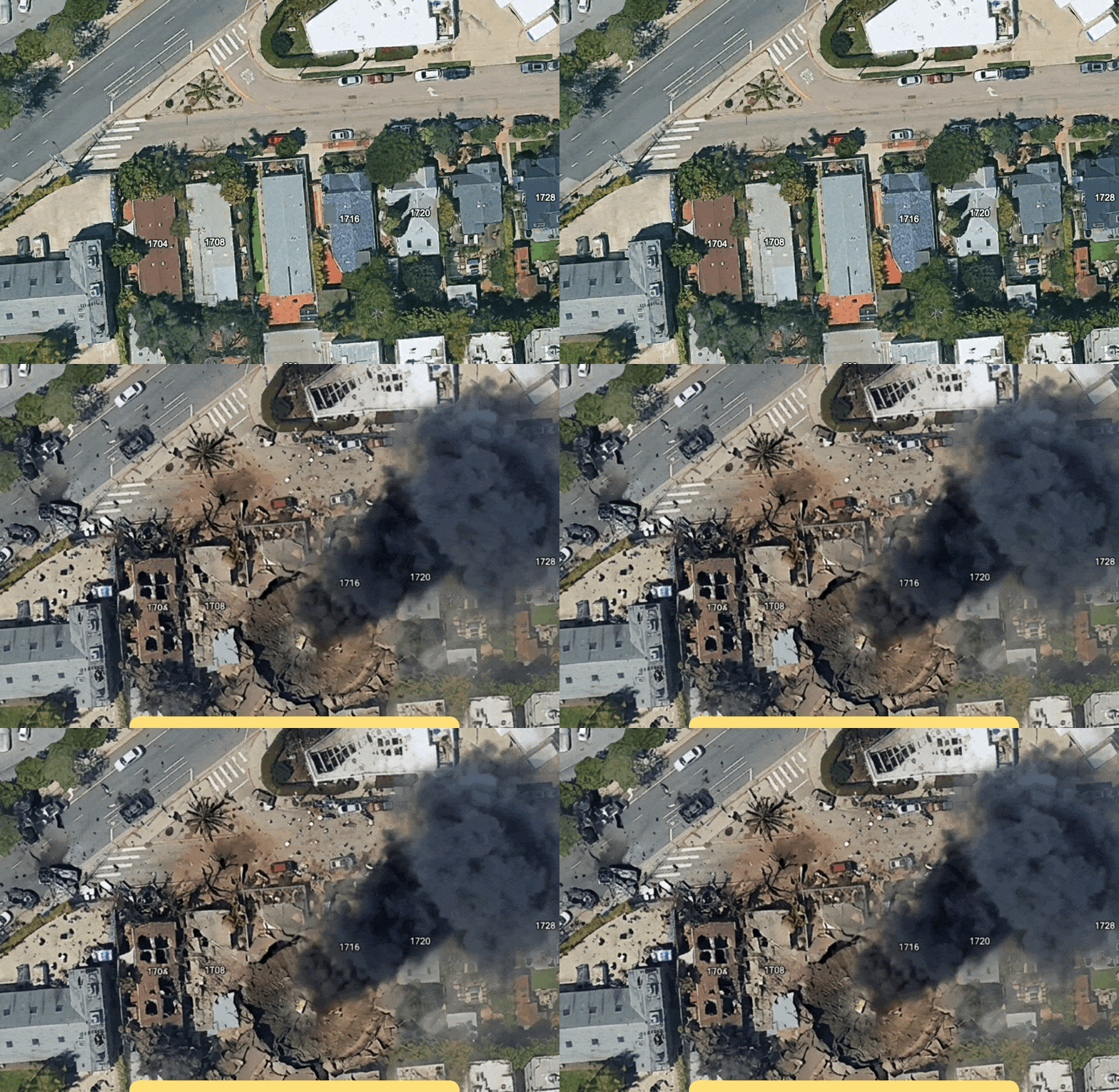
Google Earth has introduced an AI feature that allows users to generate synthetic satellite imagery from text prompts, placing fabricated scenes - refugee camps, nuclear facilities, accident sites - into real geographic locations. The capability raises immediate concerns about the ease with which convincing but entirely false geospatial imagery can now be produced. 404 Media demonstrated how quickly a single sentence can conjure a misleading image tied to a real place on the map.